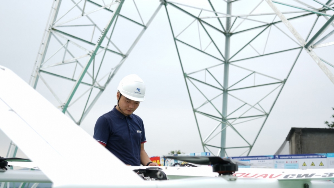
It is easy to reach areas people can’t reach according to the route, and adjust the position and height according to the terrain coordinates to during inspection.
Equipped with RGB camera, gimbal camera, LiDAR or oblique camera with 5 sensors, JOUAV drones are able to begin aerial inspections mere moments after arriving on site.
Fast, accurate and large land covering replacing the basic inaccurate visual inspection that takes a lot of time.
Integration of using drones equipped with advanced thermal technology cameras and AI technology in cooperation with the global Sense Hawk Company in the inspection of huge solar farms and the usage of aerial images not only contributes to improved efficiency in detecting flaws but proves helpful for maintenance purposes. RBG and thermal maps provide precise location data of faults and issues, significantly increasing the accuracy of ground operations and reducing human error.