Drones change the game
Experts in Drone Services
Geographic information systems (GIS)
Optimum Site Selection, Suitability Modeling, Earth Watch, High Resolution Satellite images image_searchContact Us
GeoEye Egypt is an innovative company launched at 2018 as one of the leading egyptian companies to work in the Geographic Information System (GIS), Satellite Imaging and Remote sensing technology.
Our specialists and with more than 20 years experience in the field of Remote sensing, Satellite imaging and Modern geophysical consultation provide so many services using the most advanced technology worldwide.
See beyond eyes
We provide modern suitability models and consultations using the (GIS) modeling technology, such modeling can help either large companies in their expansion plans or small companies to determine the optimum sites to start up their business in a scientific and real time updating criteria.
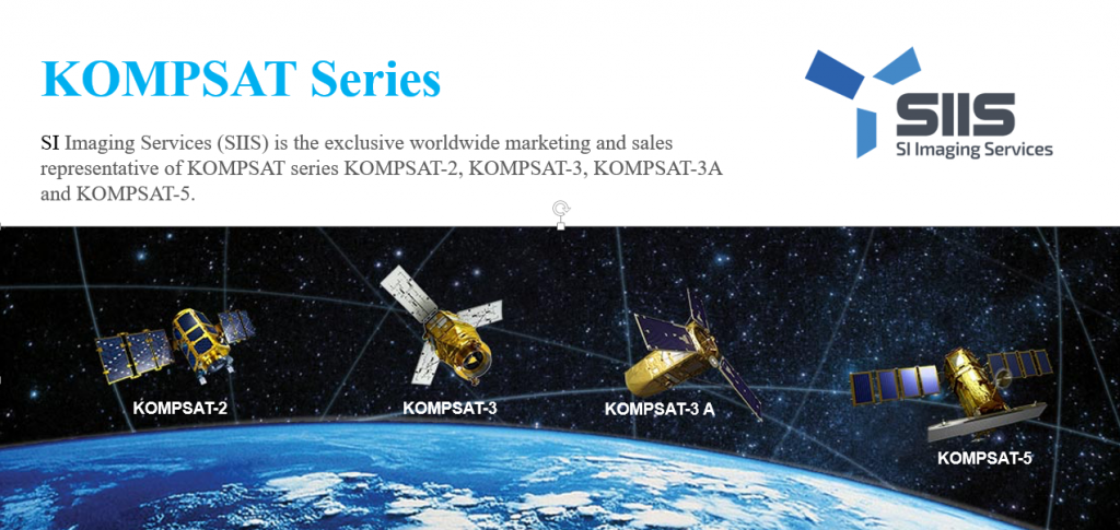
Also, we provide high resolution satellite imaging through our partner “SI imaging services” the Satrec Initiative (SI) is a world-leading solution provider for Earth observation missions. SI’s technologies on satellite platforms, electro-optical payloads and ground system provide reliable and cost-effective solutions.
sky leaders
The technology of unmanned aerial vehicles “Drones” are rapidly evolving day by day. And the presence of drones and actually very intelligent ones nowadays, insured their usage in various civilian and industrial applications. Drones substituted the presence of human individuals in many dangerous situations and jobs, Also drones provide the maximum speed with excellent precision in most of the missions they are assigned for. Nowadays drones are used in almost everything: Cinematic shooting, Firefighting, Surveillance, Aerial Surveying, Law Enforcement, Agriculture etc…
GeoEye Egypt is Exclusive partner to JOUAV the most advanced Chinese company in VTOL solutions, it could offer flight duration up to 8 hours and could carry payloads up to 20 Kg, JOUAV solutions are used in various applications such as “3D mapping, Surveillance and intelligence.