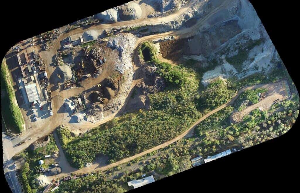
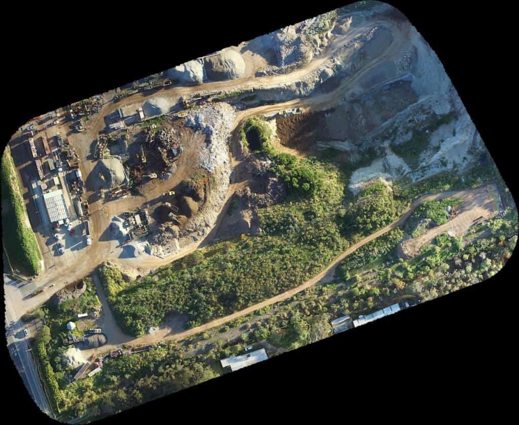
Using the Highly Integrated Aerial Mapping Systems carried upon the unmanned aerial vehicles, Drones are used in the surveying, mapping and 3D modelling because of their capabilities to cover very large areas in no time.
Aerial survey payload covers single camera of orthographic imaging, oblique multi-camera system, multi-spectral agricultural remote sensing, long-range high-precision LiDAR system and many other fields. All series of aerial surveying systems are equipped with high-precision IMU and RTK as standard, which can not only provide high-precision location and attitude in real time, but also achieve global freedom from image-control by accessing CORS data.