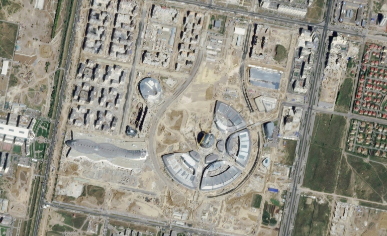
A suitability model is a model that weights locations relative to each other based on given criteria, Overlay analysis is a common method for creating a suitability model which involves using GIS techniques and software.
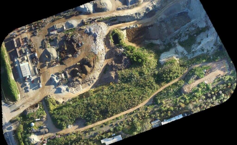
Using the Highly Integrated Aerial Mapping Systems carried upon the unmanned aerial vehicles, Drones are used in the surveying, mapping and 3D modelling because of their capabilities to cover very large areas in no time.
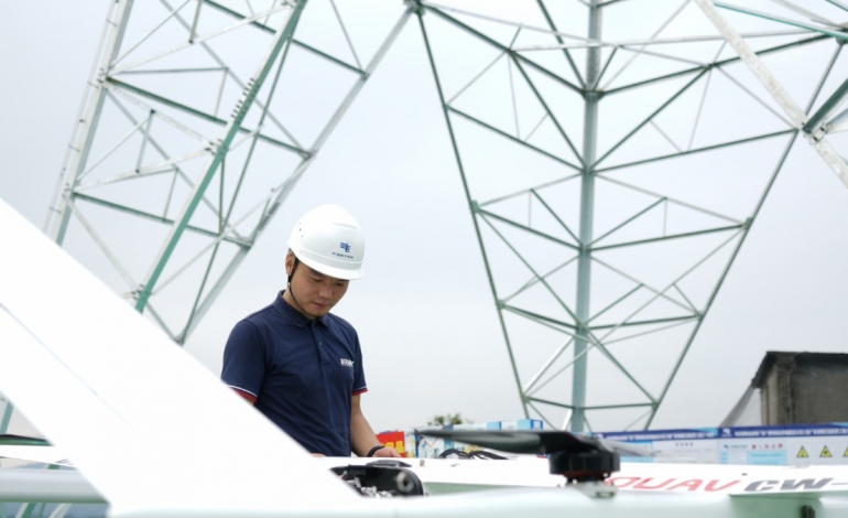
It is easy to reach the area that people can’t reach according to the route, and adjust the position and height according to the terrain coordinates to during inspection.
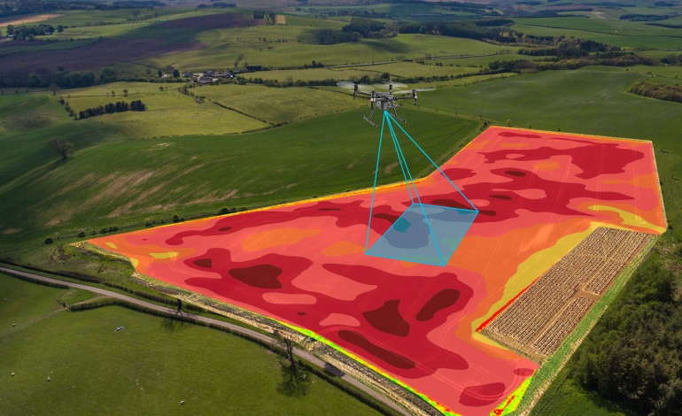
Drone are lately used in the smart agriculture systems, it is beneficial to those operations that require very precise agriculture monitoring. We can create optimal planting schemes, monitor crops, and assist in applying precise amounts of pesticides and herbicides.
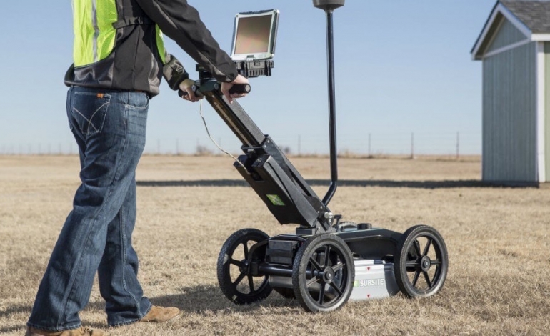
Geo Eye Egypt is specialized in providing geological and geophysical consultations, With excellent knowledge and experience modern Shallow Seismic Reflection (SSR) Surveys.
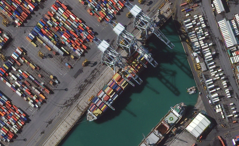
Both remote and smart asset monitoring are a combination of all the processes, assets, workflows, and analytics into a single solution to offer a centrally consolidated tracking, monitoring and analytics system for asset-intensive sectors.

