Satellites are an indispensable source of data for large scale and global applications, new information products can be derived by a combined analysis of geospatial data from satellites and other thematic backgrounds that assist in practical decision making. Imagery from satellites combined with vector data that represents Earth system features are analysed in Geographic Information Systems (GIS) and data science frameworks.
Earth monitoring using the most advanced, accurate and high resolution satellite images is playing a big role nowadays that helps us to understand and predict our attitude towards our planet Earth,
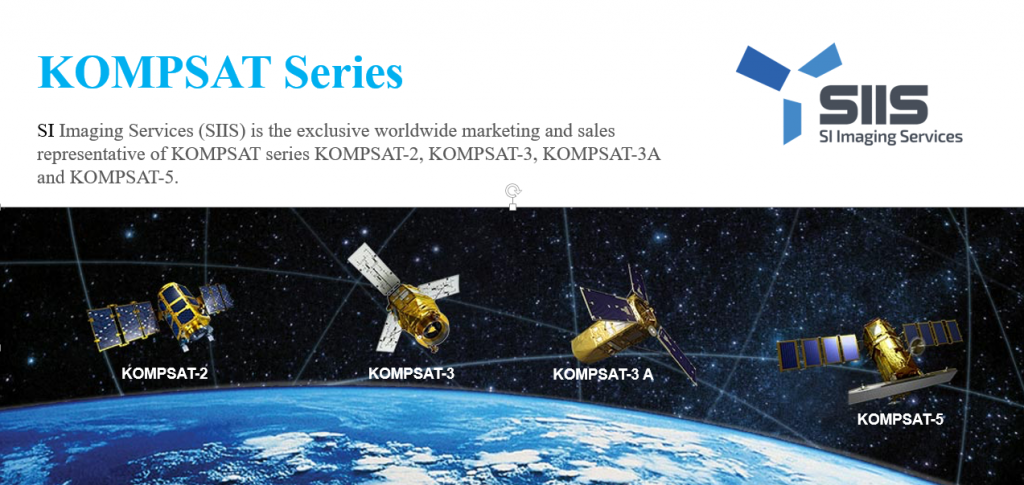
GeoEye Egypt is a pioneer in geospatial solutions, satellite monitoring and satellite imaging. In association with SI Imaging Services (SIIS) which is the exclusive worldwide marketing and sales representative of KOMPSAT series KOMPSAT-2, KOMPSAT-3, KOMPSAT-3A and KOMPSAT-5.
SIIS contributes Remote Sensing and Earth observation industries societies by providing very high resolution optical and SAR images through over 137 sales partners worldwide.
Our services include:
- Detecting Infringements on agricultural land and state property Remote Asset Monitoring,
- Optimum Site Selection
- Identifying and monitoring Crop Health and predict Productivity.
- Multispectral land use/land cover (LULC)
- Land Use Planning (Suitability analysis)